This story was originally published at 4:46 p.m. on Thursday, July 16. It was updated multiple times on Friday, July 17 (full details below).
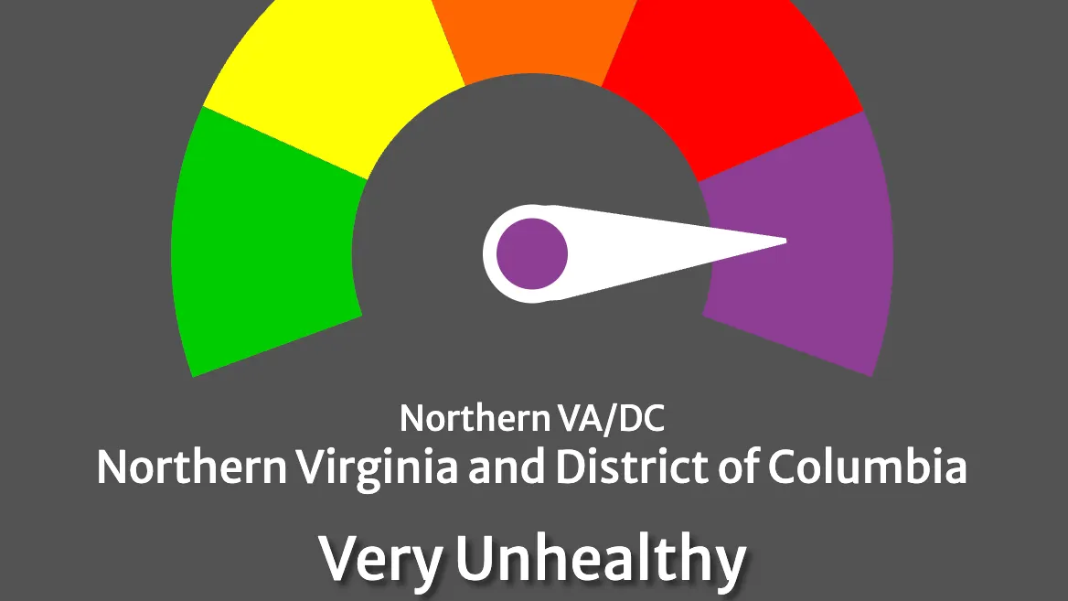
BREAKING UPDATE: Air quality conditions in the Washington metropolitan region deteriorated further Friday morning, reaching Code Purple — very unhealthy for everyone — as Canadian wildfire smoke pushed pollution levels past the Code Red alert that had been in effect since midnight.
Mayor Alyia Gaskins addressed residents directly Friday morning in her daily social media video post, urging the community to take the alert seriously.
"Today is July 17 and the city of Alexandria has officially issued an Air Quality Alert," Gaskins said. "Specifically, we are under a Code Purple alert, which means that there are increased risk of health effects for everyone in our community. It's really important that you avoid strenuous outdoor activity today."
Gaskins also reminded residents to protect their pets and urged anyone experiencing a medical emergency to call 911. "Everyone stay safe," she said.
The Metropolitan Washington Council of Governments issued the Code Purple Air Quality Health Advisory Friday, warning that current conditions have reached the second-most dangerous tier on the Air Quality Index and may worsen later in the day. Fine particle pollution from Canadian wildfires is the cause.
In response, the City of Alexandria announced that all outdoor pools will be closed Friday. Indoor pools will remain open. All summer camp and other outdoor programs operated by the city's Department of Recreation, Parks and Cultural Activities will move activities indoors. For specific program cancellations and closures, visit alexandriava.gov/Recreation.
Code Purple means the air is very unhealthy for the entire population — not just sensitive groups. People with heart or lung disease, asthma or emphysema, older adults and children should avoid all physical activity outdoors. Healthy individuals should avoid long or intense outdoor activities.
The Virginia Department of Environmental Quality and the National Weather Service had confirmed a Code Red alert for Northern Virginia, including Alexandria, effective through midnight Friday. Conditions surpassed that threshold by 8 a.m., when DEQ reported Code Purple fine particle concentrations in Winchester and surrounding areas. The Richmond area registered Code Red as of the same reading, indicating the pollution band extends across much of Virginia.
What this means for Alexandria residents
COG and AirNow urge everyone to stay indoors. If you must go outside, wear a KN95 or N95 respirator mask. Cloth masks are not effective against smoke particles. For those who must work outdoors, limit time outside to only essential tasks and take frequent breaks indoors where the air is clean.
The City of Alexandria and the Alexandria Health Department advise staying indoors in air conditioning as the best protection. Use a portable air cleaner in one or more rooms, or run a central air system to filter indoor air. Close windows and doors.
The city and COG advise residents to:
- Avoid strenuous outdoor activities; keep any outdoor time short
- If you must be outside, wear a KN95 or N95 mask
- Move physical activities indoors or reschedule them
- Avoid lawn mowing, or use an electric mower
- Use gas or electric grills instead of charcoal
- Fill vehicle gas tanks after sunset
- Take transit, carpool or work from home
- Conserve electricity and set air conditioners to a higher temperature
- Combine errands to reduce trips
- Bring pets indoors to climate-controlled areas; animals that must remain outside must have access to plenty of water and shade
Residents who need information in another language can email LanguageAccess@alexandriava.gov or call 703-746-3960 for free interpretation and translation services.
Air quality can vary across the region and may worsen through the day. Residents can check real-time conditions at mwcog.org or AirNow.gov. Alexandria-specific guidance is available at alexandriava.gov/AirQuality.
How we got here
The deterioration unfolded over three days. On Thursday, COG issued a Code Orange alert — the third tier on the AQI — driven by ozone pollution, primarily affecting sensitive groups. Overnight, the source shifted from ozone to fine particle pollution from Canadian wildfire smoke, and COG upgraded the forecast to Code Red for Friday. By 8 a.m. Friday, conditions surpassed even that threshold, prompting the Code Purple advisory.
The smoke is part of a larger regional event. According to the Associated Press, more than 100 wildfires were burning in Canada earlier this week, with winds carrying smoke southeast into the United States. Severe drought and heat have driven an especially active wildfire season. Researchers have linked warming temperatures to more frequent and intense wildfires.
The NWS forecast calls for widespread smoke throughout the day Friday, with partly sunny skies and a high near 92 degrees. Smoke is expected to persist into tonight, mainly before 4 a.m.
Saturday
An 80% chance of showers and thunderstorms is forecast for Saturday, with conditions capable of turning severe. The NWS hazardous weather outlook warns of large hail, damaging wind gusts that could approach 70 mph and a couple of tornadoes across the region. Heavy rain could produce isolated flash flooding. The high will be near 94 degrees, with a heat index as high as 105. Patchy smoke may linger between 11 a.m. and noon before the storm system moves through. Severe thunderstorms are also possible Wednesday.
Sunday
Conditions are expected to improve significantly Sunday, with mostly sunny skies, a high near 88 degrees and no smoke in the forecast — an indication that Saturday's storm system may help clear the air. Sunday night is forecast to drop to around 68 degrees, the coolest of the weekend. Residents should check AirNow.gov for updated conditions before heading back outside.
Residents should monitor NWS forecast updates and city alerts through the weekend. Non-emergency weather damage or blocked roadways can be reported to Alex311 at 703-746-4444 or through the Alex311 app. For emergencies, call 911.
COG provides daily air quality forecasts for the Northern Virginia and D.C. region in partnership with the District Department of Energy and Environment and the Virginia Department of Environmental Quality. The city's air quality action days program offers additional guidance at alexandriava.gov/AirQuality.
Updates: This story was originally published at 4:46 p.m. on Thursday, July 16. It was updated at 6:50 a.m. on Friday, July 17, with the latest forecast and on Friday, July 17, at 8:05 a.m. with the Code Purple update. It was updated at 10:20 a.m. on Friday, July 17 with remarks from Mayor Alyia Gaskins.