Table of Contents
Alexandria residents have until Nov. 21 to weigh in on a 25-year transportation plan that will shape how people move through the Washington region, including changes to transit, roadways, and rail infrastructure that directly affect the city.
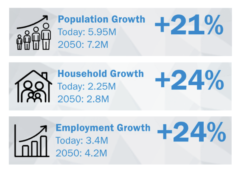
The National Capital Region Transportation Planning Board opened a public comment period Tuesday for Visualize 2050, the federally required update to the region’s long-range transportation plan. The plan projects the region will add 1.2 million residents and 800,000 jobs by 2050 and outlines how transportation infrastructure across Washington, suburban Maryland, and Northern Virginia will accommodate that growth.
What It Means for Alexandria
The draft plan includes infrastructure projects that affect Alexandria, although the executive summary does not detail all city-specific projects. Two rail infrastructure improvements mentioned are the New Long Bridge over the Potomac River and the Alexandria Fourth Railroad Track project, which extends from south of the George Washington Parkway to south of Telegraph Road. These projects aim to increase freight and passenger rail capacity, thereby easing bottlenecks along the East Coast rail corridor.
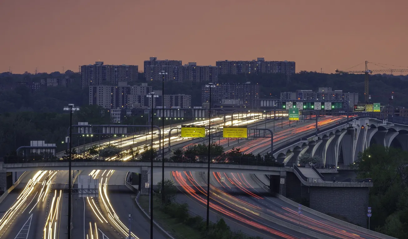
Regionwide, the plan calls for modest roadway expansion — adding 600 lane miles to the current 17,000 lane miles, a 3% increase. Bus rapid transit is expected to grow significantly, from 14 lane miles and 28 stations to 93 lane miles and 118 stations by 2050.


