Table of Contents
ALEXANDRIA, Va. - Saturday may prove more dangerous than Friday for Alexandria residents, as a heat advisory, lingering wildfire smoke and a severe storm system arrive in sequence — with heat index values potentially reaching 107 degrees and thunderstorms capable of producing damaging winds, large hail and tornadoes expected mainly after 3 p.m.
The National Weather Service issued a heat advisory for Alexandria and much of the Washington region from 11 a.m. to 7 p.m. Saturday, with heat index values around 105 — and the detailed forecast putting the peak as high as 107. Hot temperatures combined with high humidity may cause heat illnesses, the NWS warned. Residents should drink plenty of fluids, stay in an air-conditioned space and check on relatives and neighbors.
Air quality
Wildfire smoke that drove Alexandria to Code Purple on Friday persisted overnight. The Virginia Department of Environmental Quality warned that fine particle pollution from Canadian wildfire smoke will remain at Code Red to Code Purple levels Friday night into Saturday morning before beginning to improve Saturday afternoon.
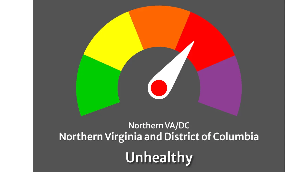
As of 6 a.m. Saturday, COG's air quality widget showed Northern Virginia and the District of Columbia still in the unhealthy range. The forecast for Saturday is Code Orange, meaning air quality is expected to be unhealthy primarily for sensitive groups — older adults, children and people with asthma, heart disease or other lung diseases — as conditions ease through the afternoon.
Widespread smoke is expected mainly before 10 a.m., the NWS forecast shows. Residents with respiratory conditions should remain indoors through the morning. If you must go outside, wear a KN95 or N95 mask. Cloth masks do not protect against smoke particles.
COG forecasts Code Yellow — moderate — for the Northern VA/DC region Sunday, meaning conditions should be acceptable for most people.
Severe storm threat
Showers and thunderstorms are likely Saturday, mainly after 3 p.m., with some storms capable of turning severe, the NWS forecast shows. The hazardous weather outlook issued at 5:14 a.m. Saturday warns that damaging wind gusts are the primary threat, with some gusts potentially approaching 70 mph. Large hail and a tornado or two are also possible. Very heavy rain could produce isolated flash flooding.
Storm activity is expected to continue into Saturday evening, with showers and thunderstorms likely before 7 p.m. NWS spotter activation is expected by this afternoon.
Residents should monitor NWS warnings closely through the afternoon. If a tornado warning or severe thunderstorm warning is issued for Alexandria, move immediately to an interior room on the lowest floor of a sturdy building, away from windows.
Five city pools are open Saturday, according to the city's recreation calendar. Minnie Howard opens at 7 a.m., Chinquapin at 8 a.m., Memorial at 10 a.m., Warwick at 11 a.m. and Old Town at noon — a return to normal operations after all outdoor pools were closed Friday under the Code Purple air quality alert.
Cooling centers remain open Saturday at five city recreation centers — Charles Houston, Leonard "Chick" Armstrong, Mount Vernon, Patrick Henry and William Ramsay — and at four Alexandria Library branches, open 10 a.m. to 5 p.m. With a heat index potentially reaching 107 degrees midday, those facilities offer critical relief for residents without air conditioning.
To report non-emergency weather damage or blocked roadways after storms pass, call Alex311 at 703-746-4444 or use the Alex311 app. For emergencies, call 911.
Sunday
Sunday offers the clearest conditions of the weekend: mostly sunny, high near 88, no smoke in the forecast and moderate air quality. Sunday night drops to a low around 69 degrees. Some storm chances return Monday, with a 30% chance of showers and thunderstorms Monday afternoon and evening.