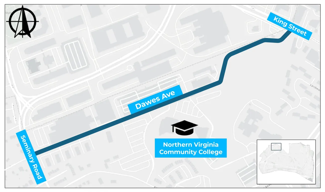
ALEXANDRIA, Va. — Alexandria residents have until Wednesday to comment on a conceptual design that would add bike lanes along Dawes Avenue and change on-street parking through the Northern Virginia Community College campus.
The city's Department of Transportation & Environmental Services is collecting feedback on the concept for Dawes Avenue between Seminary Road and King Street. The online form closes Wednesday, Aug. 5.
The project is a partnership between the city and NVCC. According to the city, it responds to concerns raised by the college, community members and the corridor's crash history. The city reports 16 crashes on the corridor since 2017, six of which resulted in injuries, and says speeding is common there.
The city describes the purpose as improving safety for all users, and lists reducing speed, improving pedestrian crossings, increasing sight distances and restriping among potential solutions.
What the concept shows
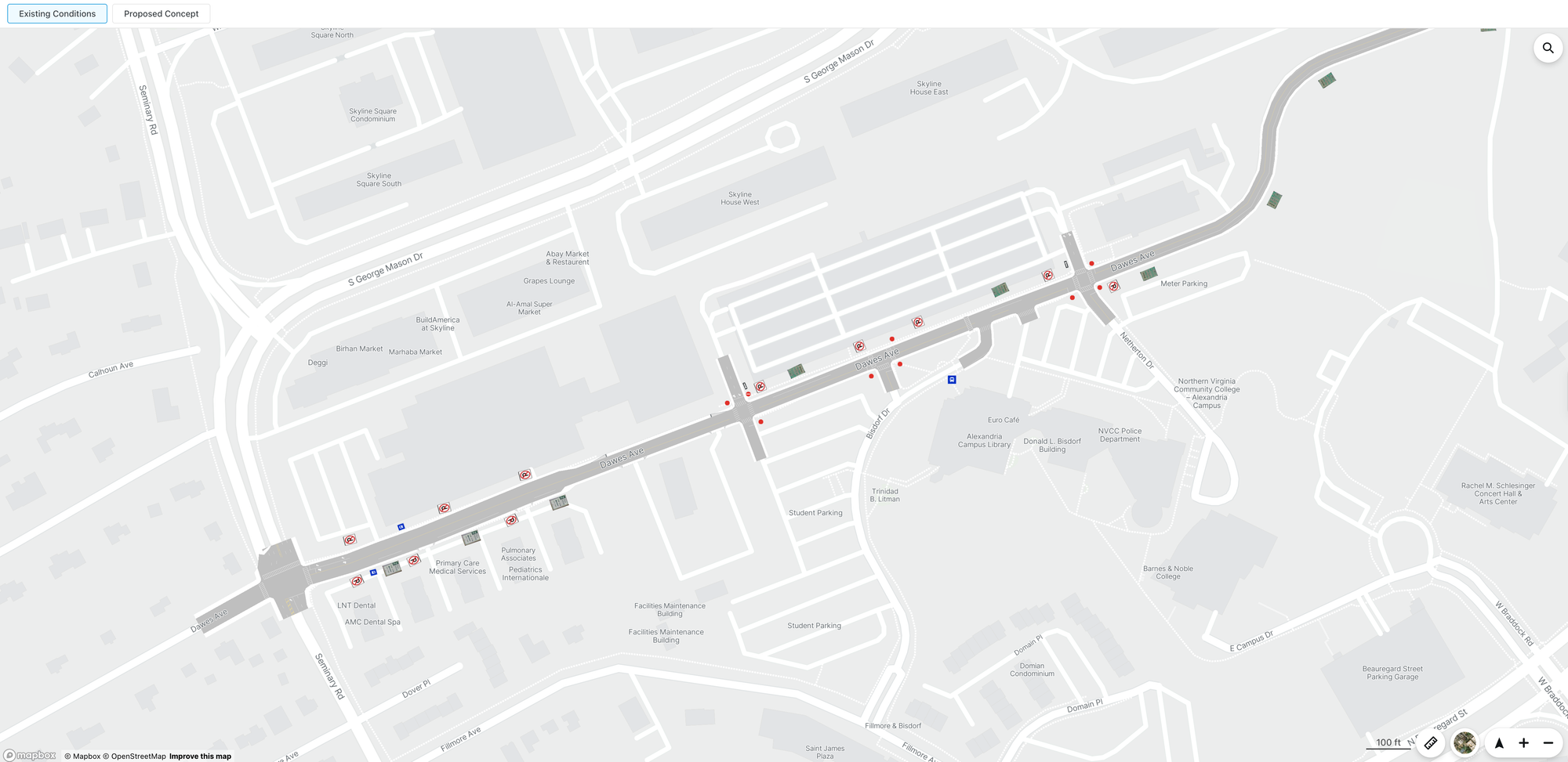
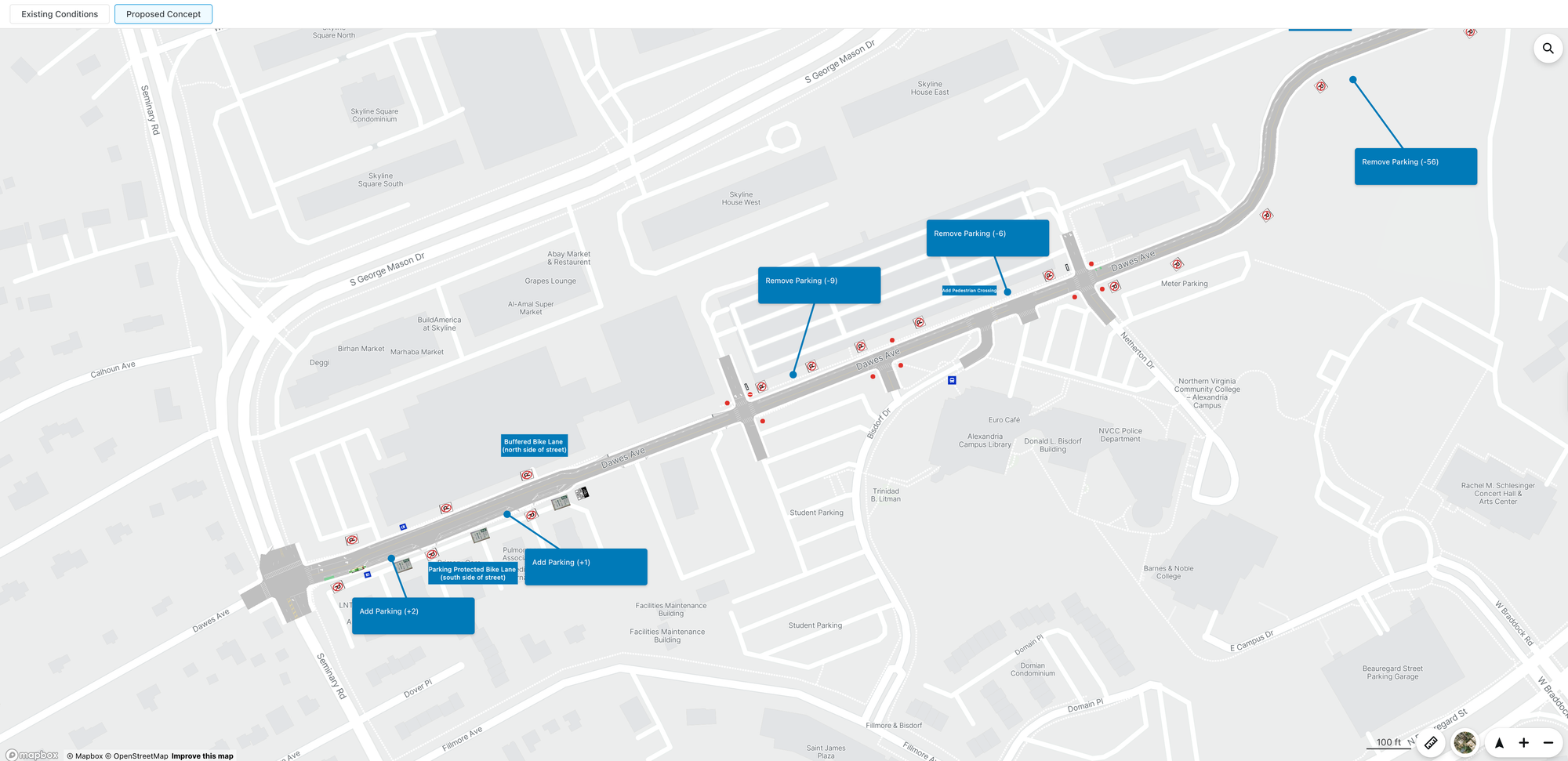
The design adds a buffered bike lane on the north side of the street and a parking-protected bike lane on the south side, along with a pedestrian crossing near Netherton Drive.
Cross-section drawings published by the city show the corridor in three segments. Between Seminary Road and 5190 Dawes Avenue, the drawings show one travel lane in each direction with bike lanes on both sides. Between 5190 Dawes and Netherton Drive, and again from Netherton to King Street, they show two travel lanes and a single bike lane. The city's drawings do not list lane widths.
The city's interactive map labels parking changes at five points along the corridor: removals of 56, nine and six spaces, and additions of two and one. The largest removal is near the eastern end, where Dawes curves toward King Street. The two additions are closer to Seminary Road.
Those labels total 71 spaces removed and three added, a net reduction of 68. The city has not published a corridor-wide total, and the number of existing on-street spaces on Dawes was not available.
How to comment
An interactive conceptual design map, a PDF of the cross sections and a link to the feedback form are posted on the project page at alexandriava.gov. The city says staff will refine the design based on the comments received.
Construction is anticipated in 2026 or 2027.
The project falls under the city's Neighborhood Transportation Improvements Program, which allows residents to petition for street changes addressing concerns such as vehicle speeds, difficult intersections and limited crossing opportunities. The city links the program to its Alexandria Mobility Plan and Vision Zero goals.
The project manager is Silas Sullivan of the Department of Transportation & Environmental Services.